


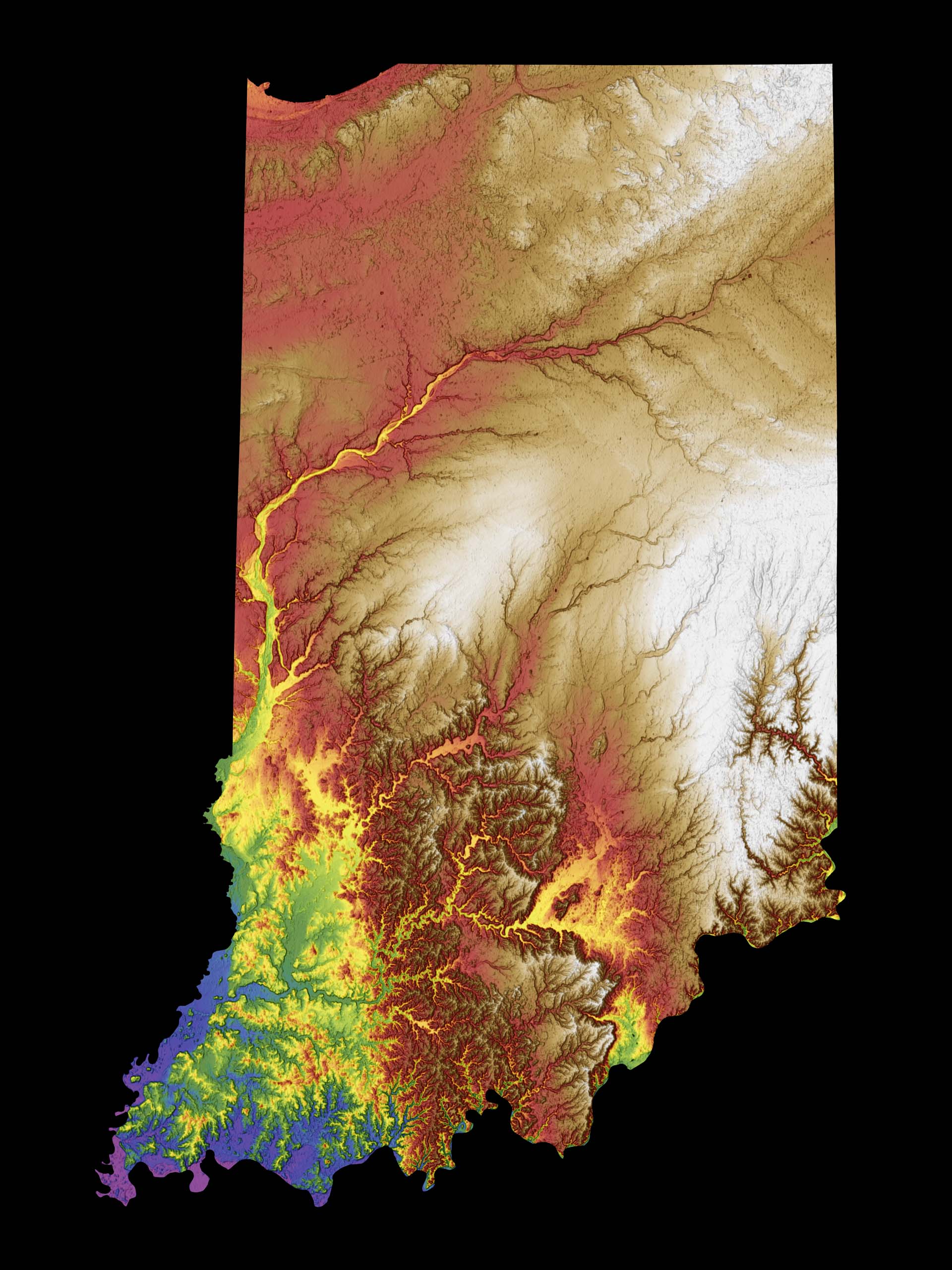
Indiana Color Elevation Map
Hey there, Hoosiers and adventure seekers! Get ready to unleash your spirit of exploration and dive into the unexpected wonders of the Crossroads of America with our latest creation, the Indiana Color Elevation Map! – the terrain map poster that'll have you laughing, discovering, and exclaiming, "Who knew Indiana had so much to offer?!"
As you unroll this cartographic gem, prepare to be amazed by the diverse landscapes and hidden treasures that await your discovery in the Hoosier State. We've meticulously crafted a map that showcases the beauty of Indiana, from the rolling hills of Brown County to the shimmering shores of Lake Michigan. So lace up your sneakers, grab a tenderloin sandwich for fuel, and get ready to embark on an adventure that'll make your heart race faster than the Indianapolis 500!

Printed Map Features
- Printed on high quality, thick 10 mil (0.25 mm) paper
- High resolution image displays intricate details
- Semi-gloss finish for premium luster giclée print
- Fingerprint resistant
- Full bleed - artwork is printed to edge of paper
- Frames are not included
Digital Download Map Features
- Download instantly!
- High resolution 300dpi JPEG
- Map legend included!
- Print at home or your local print shop

